South Ferriby has a fascinating history. The location of the village, just where the Wolds meet the Humber has meant that since prehistoric times it has had a strategic importance.
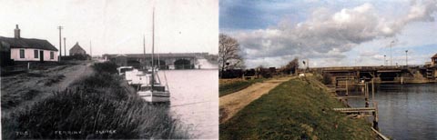
The name of course correctly suggests it was a ferry terminal and in fact ferries ran from Ferriby Sluice until the first World War.
South Ferriby Origins
South Ferriby as the name suggests is defined as 'The farmstead or village beside the ferry'. South Ferriby has through the ages been known as the following:- Ferriby, Ferraby, Ferribi, Ferebi, Ferya By, Ferrebe, North Ferebe, which is shown on an old map dating from 1610 and South Ferraby (in 1842). It is South in relationship to North Ferriby which is located on the opposite bank of the River Humber.
The Doomsday Book (1086) referred to the village as "Ferebi".
Other names for the village include Suth Feriby.
The name can be translated to 'The farmstead or village at the ferry'. It is South in contrast to North Ferriby which is located on the opposite bank of the River Humber. -by – farmstead, village – (Old Norse – by)
South Ferriby Publications
We are very fortunate in having in the village a number of enthusiastic historians and extracts from their publications and photograph collections can be viewed on this page.
Copies of the parish registers are held on microfiche at Scunthorpe Library and cover:
Baptisms 1538 to 1911
Burials 1618 to 1991
Marriages 1639 to 1971
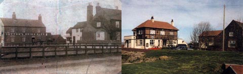
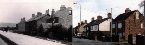
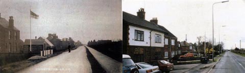
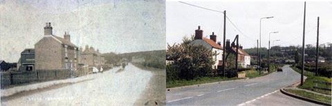
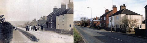
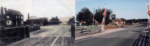
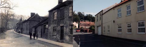
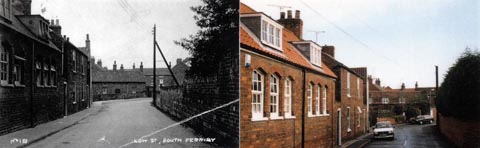
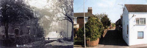
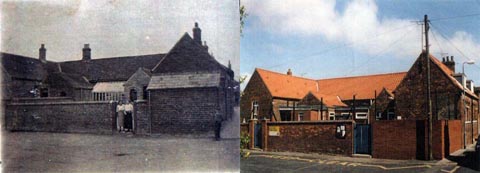
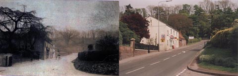
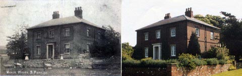
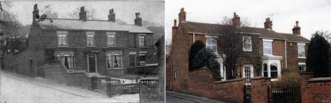
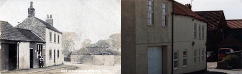
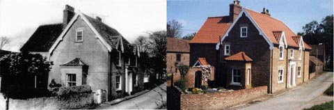
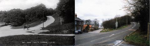
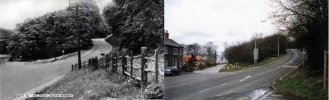
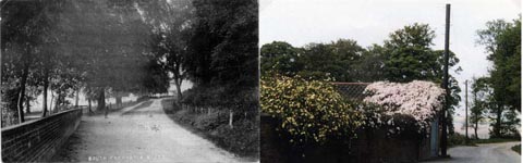
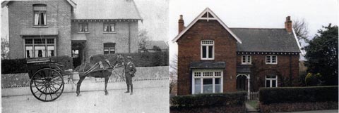
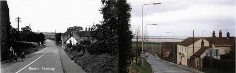
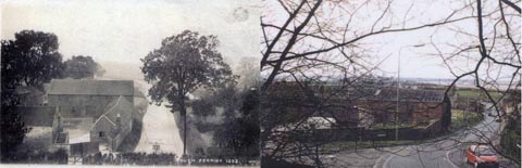
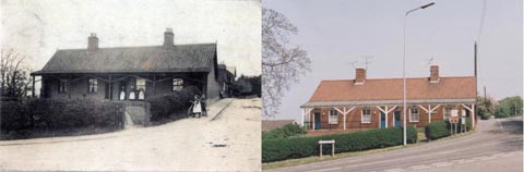
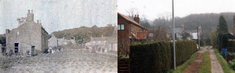
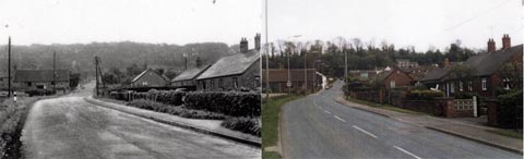
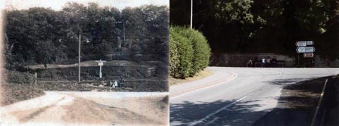
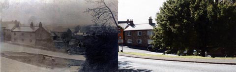
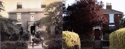
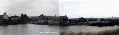
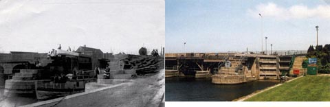
Now and Then
Many more photographs can be viewed on our gallery page.