Welcome to the South Ferriby Parish Council Website
This website provides details about your council and useful local information for all residents in the village.
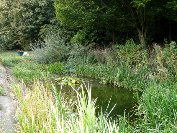
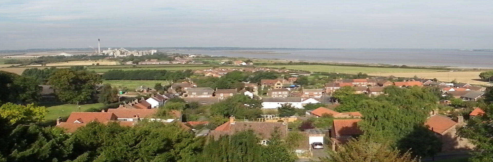
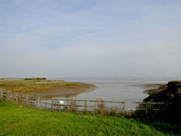
South Ferriby is a village in North Lincolnshire. It is situated on the south bank of the Humber Estuary and 3 miles (5 km) west from the Humber Bridge.
South Ferriby is known locally as one of the Low Villages nestling at the bottom of a chalk escarpment, where the chalk meets the clay to give a plentiful water supply. It also marks the point where the Lincolnshire Wolds come to the Humber Estuary and, as the name suggests, it is the southern site of a former ferry across the estuary to North Ferriby.
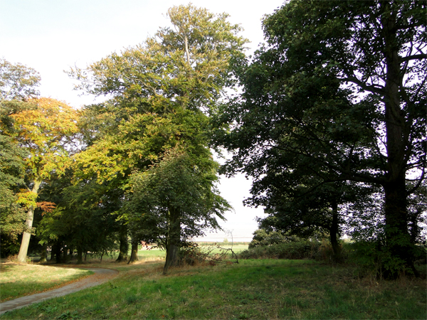
South Ferriby lies on the route of the Viking Way, the 147 miles (237 km) long-distance footpath from the Humber Bridge to Oakham, Rutland, and is on the side of an escarpment overlooking the Ancholme valley.
The A1077 climbs the steep escarpment at this point, and meets the B1204 from the south, which follows the escarpment to Elsham Hall Country Park (former A15 road) via Horkstow. The A1077 is sometimes closed to let boats through the sluice.
The village has a population of around 600 with a General Store and Post Office, garage and two public houses. There are sporting facilities, an expansive playing field and playground.
The new primary school was built in 2005 on a large area of land in the heart of the village.